Entre a estepe e o montado
Difficulty
Distance
11 km
Duration
2h30
Elevation gain
90 m
Altitude
137–196 m
Type
Loop
Description
Machine-translated from Portuguese.
The route begins in the small village of Azinhal, situated in an area
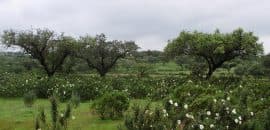
where oak forests alternate with a vast plain. The
impoverished soil has a “pale” color, living up to the name
“white field” commonly given to these lands. Leaving
Azinhal on a dirt road heading west, we quickly
reach Monte Barbeiro. This is a small, typically Alentejo hill,
similar to Monte Peso, located a short distance from
each other. Continuing in the same direction, and leaving Monte Peso
behind, we reach a paved road where we follow the
left side. The paved stretch is short, and we quickly reach the village
of Corte Pequena, a village of medieval origins.
Once in the village, we now head east toward Monte
Balança, again on a dirt road. Monte Balança,
so named because it is associated with the former weighing of ore. This
ore came from the Balança mines, part of the world-renowned
Iberian pyrite belt.
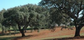
As we continue our walk, not far from the mines,
we come across a large holm oak on our
right.
At the end of the route, almost in a straight line to the village of Azinhal, it is common to
observe birds. An area characterized as one of the most
important European communities of steppe birds, namely the
great bustard, black-bellied wheatear, little bustard, griffon vulture, black vulture,
and Iberian imperial eagle, among others. As you approach the village of
Azinhal, you find yourself in a concentrated area of holm oak forest, rich in
natural value. This is a feeding ground
for the crane and the perfect habitat for many game species such as
rabbit, hare, partridge, and wild boar.
Once the route ends with your arrival in the village, we suggest a hike up to
Serra da Alcaria Ruiva, the highest point in the municipality, offering a
superb panoramic view of the plain.