Grande Rota do Douro Internacional e do Douro Vinhateiro
Distance
176 km
Type
Point to point
Description
Machine-translated from Portuguese.
The GR 36 is a major linear route, with a total length of 176.40 km, which crosses the municipalities of Miranda do Douro, Mogadouro, Freixo de Espada à Cinta, and Torre de Moncorvo.
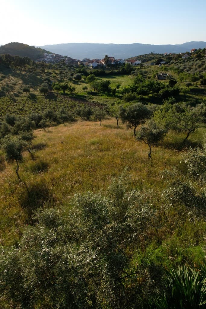
This long-distance hiking trail connects the cliffs of the Douro International to the vineyards of the Douro Wine Region, surrounded by landscapes considered among the most impressive in Portugal .
The section between Paradela and Sendim, located in the municipality of Miranda do Douro, is 41.40 km long, passing through the villages of Paradela, Aldeia Nova, Vale de Águia, the town of Miranda do Douro, Cércio, Freixiosa, Vila Chã da Braciosa, Picote, and Sendim.
The northern region of the Douro International Natural Park is an area of great scenic beauty due to the contrast between the rugged valley (Arribas) of the Douro River and the vast Mirandese plateau. Its proximity to Spain and the numerous traces of the strong Celtic and Roman presence give the region its importance, which was once strategic and which has greatly contributed to a cultural identity that is quite distinct and unique in Portugal.
Reviews
No reviews yet. Be the first!
Nearby trails