Percurso do Dão
Difficulty
Distance
21 km
Duration
5h55
Elevation gain
240 m
Altitude
49–21399 m
Type
Point to point
Description
Machine-translated from Portuguese.
The route
starts at the spot that for centuries has been considered the source of the
Dão River, between two granite slabs, in the village of Barranha, in the parish
of Eirado. There, you can observe traces of
vernacular
granite architecture, heading toward the Aguiar plateau and passing through areas
of family farming where chestnut trees and
vineyards are evident. You then pass through a small pine forest, where you will find, nestled within it,
the Chapel of N.S. do Castelinho, with its remarkable porch, in an
open and pleasant spot, offering panoramic views of the
mountain ranges to the east. Upon leaving the pine forest, after a short stretch on
a paved road (EN330), turn right onto a dirt road
to encounter the wildest and most imposing section of the route,
amidst impressive granite outcrops and horizons stretching as far as the
eye can see to the south and southwest.
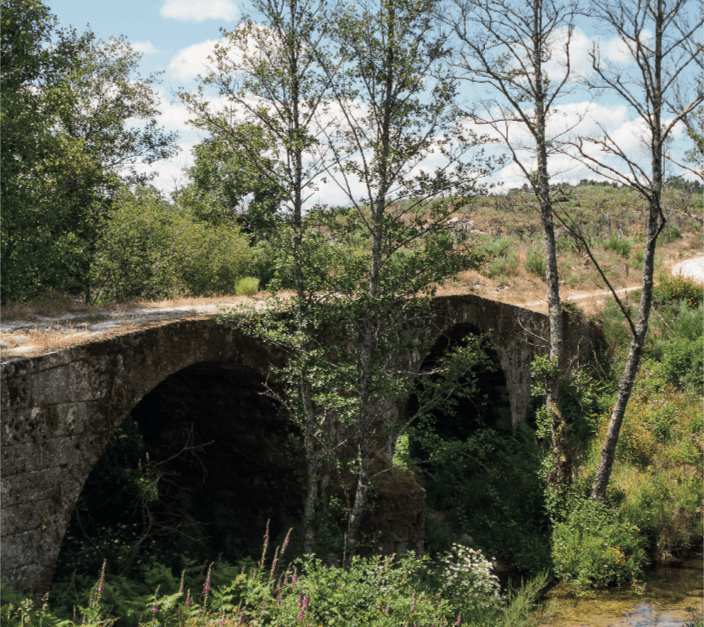
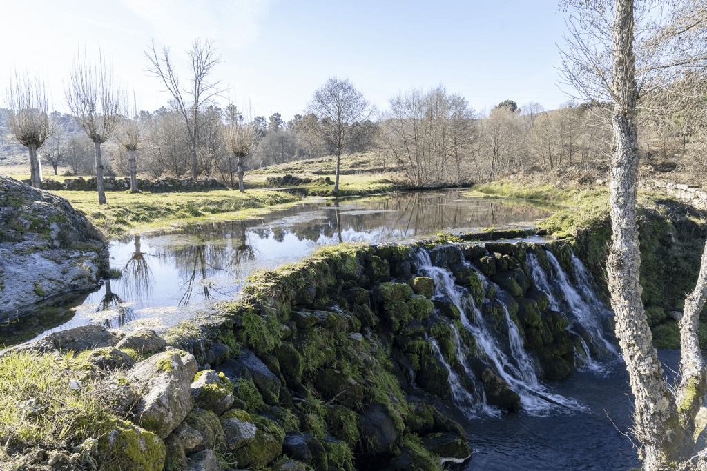
The Dão River now flows to your right, at the bottom of a steep-sided valley, hidden by the riparian vegetation that shields it. It descends to meet the river and crosses it for the first of six times, followed by several kilometers of riding along its banks, passing through the villages of Porto de Aguiar, Dornelas, and ending near Forninhos.
Route
Nearby trails
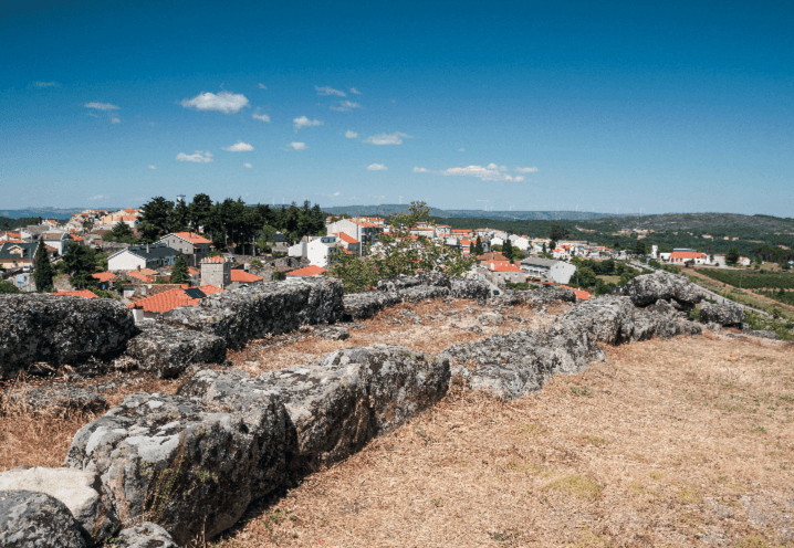
Caminhos de Fé
Aguiar da Beira, Guarda
- Distance
- 15 km
- Duration
- 4h25
- Elevation gain
- 400 m