Entre a Terra e o Mar
Difficulty
Distance
11 km
Duration
3h30
Type
Loop
Description
Machine-translated from Portuguese.
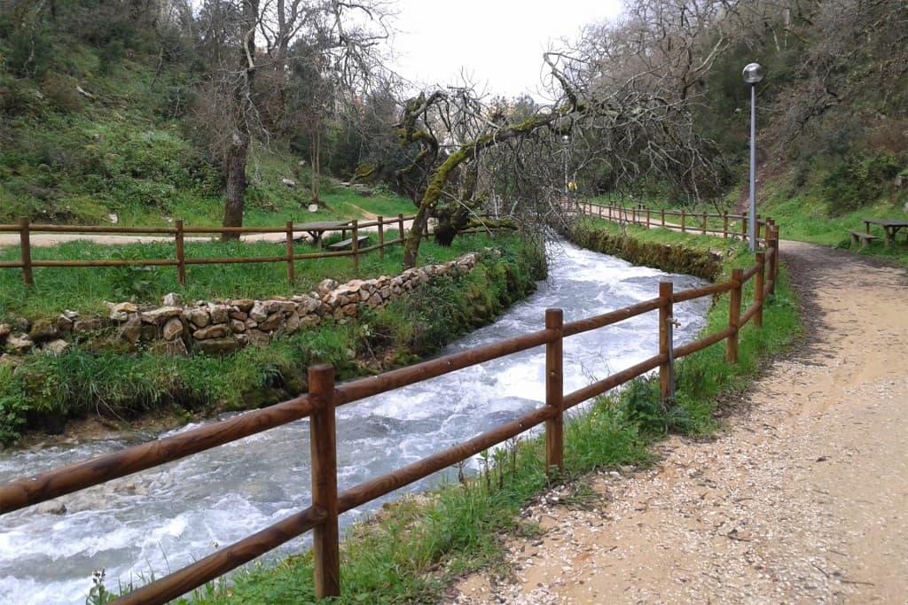
The trail runs along the eastern and western slopes of the Serra da Pescaria, in the parish of Famalicão, municipality of Nazaré. It begins at the square in front of the Famalicão Church, heading out along Rua Prof. Adriano R. Barbosa; at the end of this street, turn right toward Cortezinhas. After passing two clusters of old windmills— one on the left and one on the right—the route continues northward along traditional paths. This path joins a paved road, which you should follow for about a hundred meters, then turn left to resume the old paths leading to the Cumeada da Serra road. Bynow you can already see the blue expanse of the Atlantic in the distance, stretching out across the immense sandy beach of Praia do Salgado. After traveling north along the road, you’ll soon come to a house on the right, after which you take the path that climbs toward an old mill at the summit. Before reaching the mill—about 70 meters from it— take the path heading north, which runs along the western slope of the Serra da Pescaria along the contour line, without ascending or descending significantly, allowing you to enjoy a breathtaking landscape set against the sea, the beach, and the dunes. The foothills of the mountain range form a fertile valley, as they are protected from the sand and sea winds by the beautiful vegetation and trees of the dune ridge. In the mountain range, through which the trail passes, the dense vegetation rarely reaches one and a half meters in height; however, it is very rich in species characteristic of Mediterranean flora. Meanwhile, you reach the Casal do Morgado trail. Turn right and follow the trail to the paved road that leads left to the village of Serra da Pescaria de Baixo. After passing this village, at the bend in the path, continue until reach the Cumeada road, where you turn right. Just before the antenna, take a path to the left and, shortly after, another to the right. This is an old path that leads toward Famalicão and descends gently. After passing the remains of a fountain and a washhouse, at a spot where the path is flanked by high embankments, you’ll come to a fork in the road. The path on the right leads, about 500 meters further on, to an old quarry where two tracks of dinosaur footprints can be seen. The path on the left continues toward Famalicão. About 100 meters past this fork, there is a small path running alongside a stream, which leads to a wider path that follows the contour line, passing slightly above Casais de Baixo. Continue along it and you’ll quickly reach Famalicão, where you first enter via Rua de Panões and then via Rua Padre Manuel Dias Pereira, ending at Largo da Igreja, where you started.