OBD PR5HikingOfficially certified trail
Rota das Poças
Óbidos, Leiria
Difficulty
Easy
Distance
9.1 km
Duration
3h
Elevation gain
97 m
Altitude
1–50 m
Type
Loop
Description
Machine-translated from Portuguese.
Route
starting and ending at the Parish Council headquarters. Heading down through the
village along the main street, we pass the old washhouses and fountain,
now a recreational area. Further down, we come to the Church of Nossa Senhora da
Piedade, then head down toward the centuries-old public washhouses.
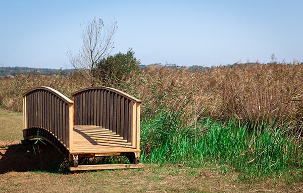
We then enter the dirt paths of the lowlands, which once led to the
Óbidos Lagoon and are now used as floodplains for horticulture, floriculture,
and fruit farming. We continue along the Rio Real to its confluence with
the Arnóia River, near the old airfield, and then skirt
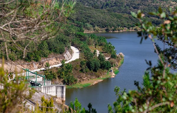
part of the Poça da Cativa (Small), before climbing up to the
overlooking the area, in the Coelheira region, where we’ll enjoy superb views of
the extensive floodplains surrounding the Poças. On the way down, we’ll skirt
the Poça da Cativa once more, then enter the majestic Poça do Vau,
which we’ll follow until the climb back to the village, with
superb views of the Poça, the floodplains, and the Lagoa. Along this route,
we’ll be able to appreciate the flora and the immense variety of wildlife, with special emphasis on
countless (and rare) bird species that breed and live in the Poças,
considered one of the best places in Europe for birdwatching.
Route
Reviews
No reviews yet. Be the first!
Nearby trails
OBD PR6
OBD PR1