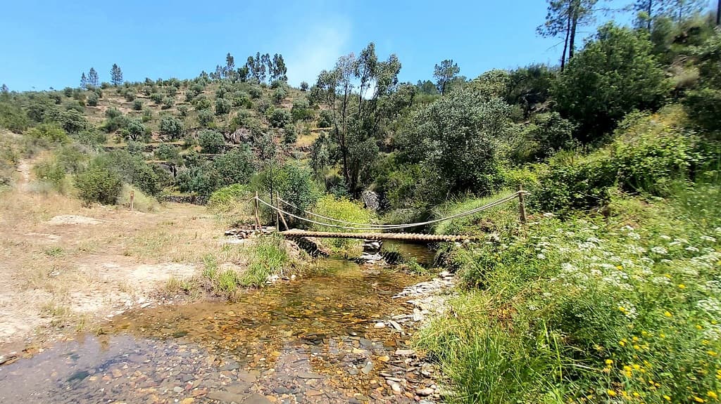
Descobrir o Tejo
Difficulty
Distance
4.3 km
Duration
1h30
Elevation gain
188 m
Altitude
82–265 m
Type
Loop
Description
Machine-translated from Portuguese.
The route begins next to the
old Chão da Velha Elementary School, where you can see the
weathered houses of the village, with their characteristic
Alentejo chimneys. In the past, agriculture and the herding of cows and goats were
the main sources of livelihood for this village, which is now practically
deserted. However, some vegetable gardens and vineyards in the surrounding area prove that
there are still those who have not permanently abandoned these fields.
Wandering through the eucalyptus-filled woods, you descend along a steep trail,
winding along a narrow path down the hillside, lost
among the banks of the Tagus, which leads to the river’s south bank. Upon reaching the spot
where there is
a small pier and a picnic area, you get a good view of the
river’s deep valley, which marks the transition between the country’s hot and
dry south and the temperate and humid north. You can spot some birds
such as the gray heron or the cormorant. The ascent then begins, along a
dirt path, passing through several eucalyptus groves, next to the
baroque-style building. You follow a path until you reach the highest point of the
trail, a threshing floor, running alongside a schist wall with a flat top.
Before reaching Chão da Velha, you pass by a fountain and some
schist buildings.
Route
Reviews
No reviews yet. Be the first!