Trilho da Senhora da Cunha
Difficulty
Distance
14 km
Duration
5h30
Elevation gain
700 m
Altitude
172–750 m
Type
Loop
Description
Machine-translated from Portuguese.
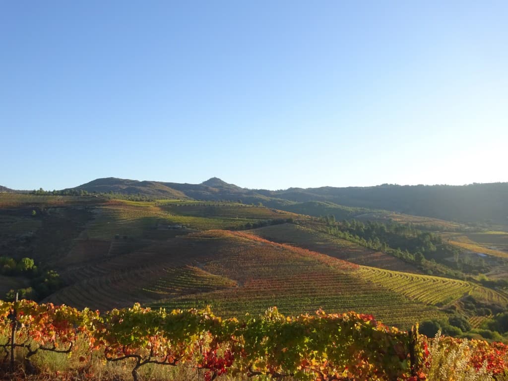
The “Senhora da Cunha Trail” begins and ends next to the information panel located in the village of Amieiro, near the parish church, dedicated to Saint Lucy. It heads toward the Tua River and follows it for about one kilometer, along its right bank. It then veers away and climbs a steep slope with a breathtaking view of a vast, straight valley where the Tua River flows. The climb continues to Monte da Senhora da Cunha, where you can see the Amieiro–Safres–São Mamede de Ribatua Micro-Reserve. This hill, shaped like a “wedge,” is crowned by a chapel dedicated to Senhora dos Prazeres, and the view from its summit offers a truly magnificent panorama. The trail continues around the base of Monte da Senhora da Cunha, descends, and crosses Municipal Road 596, returning via a pedestrian path, through houses and backyards, back to the parish church of the village of Amieiro.
Reviews
No reviews yet. Be the first!
Nearby trails