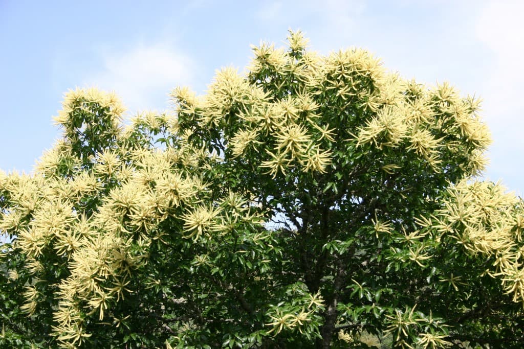
Rota dos Castanheiros em flor
Difficulty
Distance
12 km
Duration
4h30
Elevation gain
240 m
Altitude
770–921 m
Type
Loop
Description
Machine-translated from Portuguese.
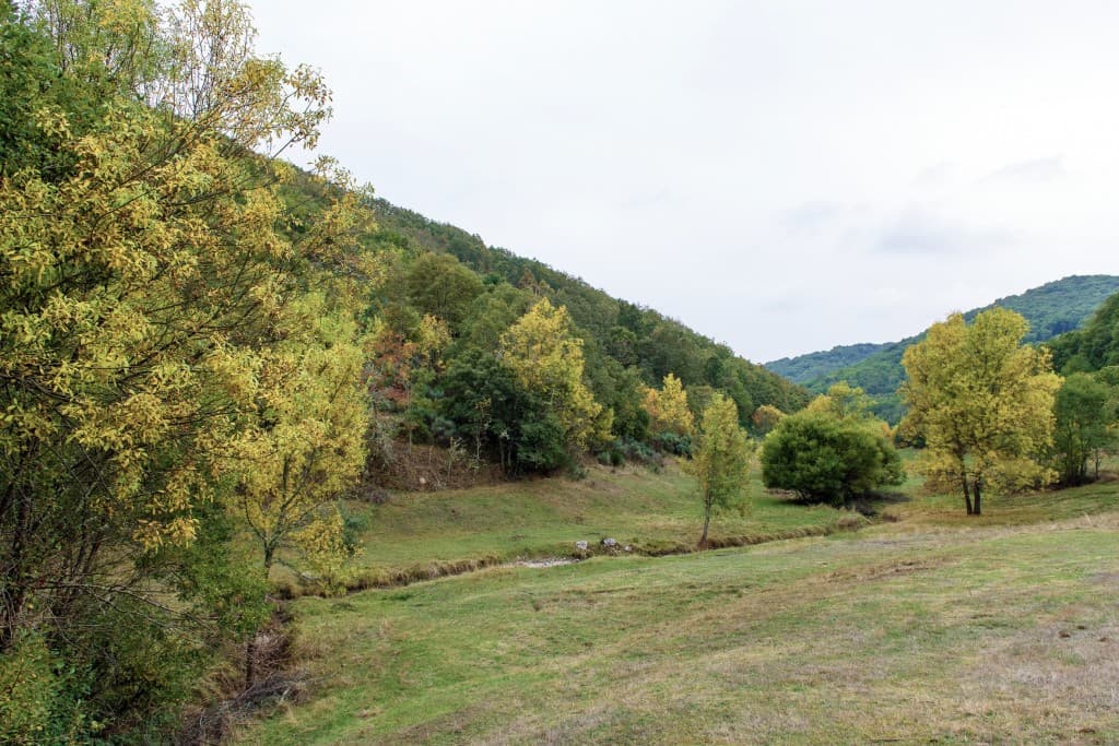
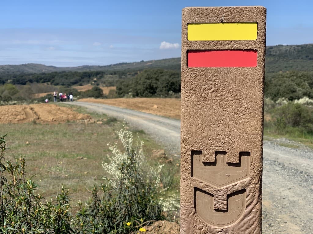
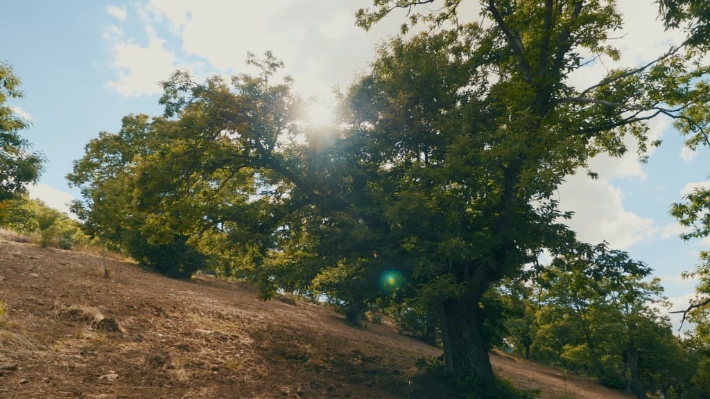
This route begins at the square in front of the Chapel of S. Roque, where you can see a niche of roadside shrines dating from 1927. From there, continue toward the Tua River, then take Rua do Outeiro and cross the main road toward the soccer field. From here, the route continues through chestnut trees, as this is one of the parish’s main economic activities. Upon reaching an asphalt road, turn right, then take a new dirt path. After crossing the railroad tracks again, you will soon reach the "Boixardão" chapel. You then head toward the village of Freixeda, from where you continue, also along rural paths, back to Salsas.
Route
Reviews
No reviews yet. Be the first!
Nearby trails
- Distance
- 18 km
- Duration
- 6h
- Elevation gain
- 585 m