Os encantos dos “Quercus”: Percurso entre carvalhos, sobreiros e azinheiras
Difficulty
Distance
18 km
Duration
6h
Elevation gain
585 m
Altitude
642–876 m
Type
Loop
Description
Machine-translated from Portuguese.
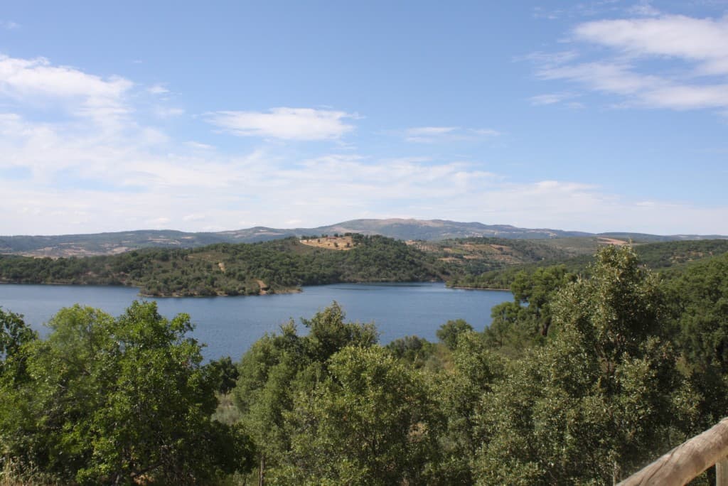
The route starts in the center of Sendas and heads toward Vila Franca, taking the forest path that circles Monte do Gato and descends to the Tua River. Upon reaching the old Vila Franca train stop, take the path on the right toward the center of the village. You then continue toward Fermentãos, along a path parallel to the old railroad line. Upon leaving the village, cross the Roman bridge over the Ribeira de Sendas, then take the path on the left that follows the stream southward. Climb to the highest point of the route, at 873 meters, and enjoy the view of the places already visited. The descent to Sendas follows forest trails throughout.
Shortly after crossing the stream, you reach a fork where you can choose to continue the hike to Cabeço Pelado and visit a waterfall or return to the starting point.
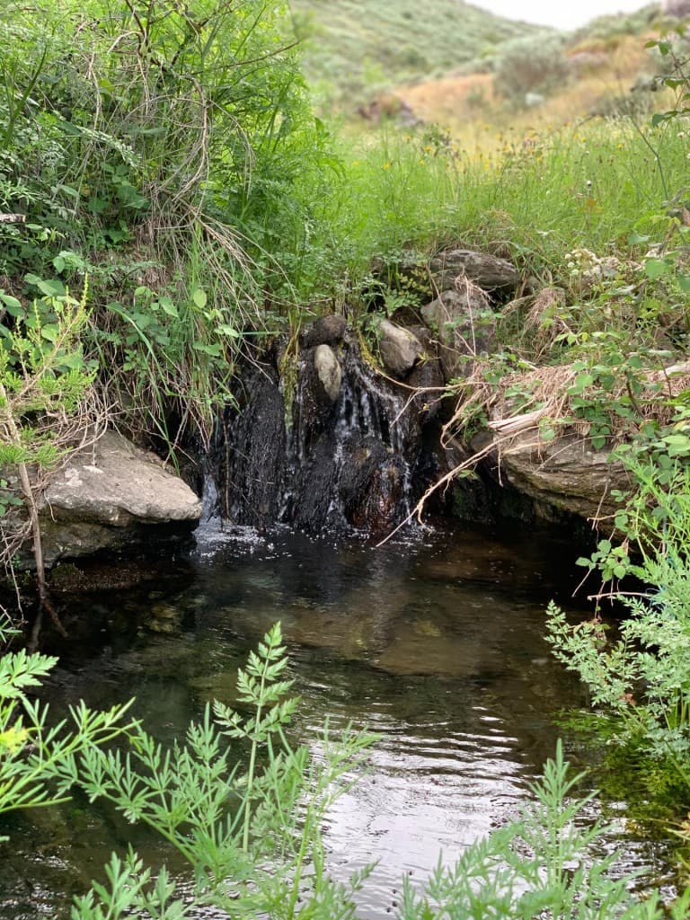
If you choose the main path, you cross the stream again, continuing along that bank for about 3 km. You cross the stream once more, and it is in the final stretch of the route that a short detour (250 m) appears to visit the waterfall, known as Caldeira de Piões.
Route
Nearby trails