Grande Rota do Alva
Difficulty
Distance
77 km
Elevation gain
1,042 m
Altitude
44–323 m
Type
Loop
Description
Machine-translated from Portuguese.
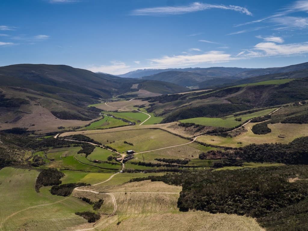
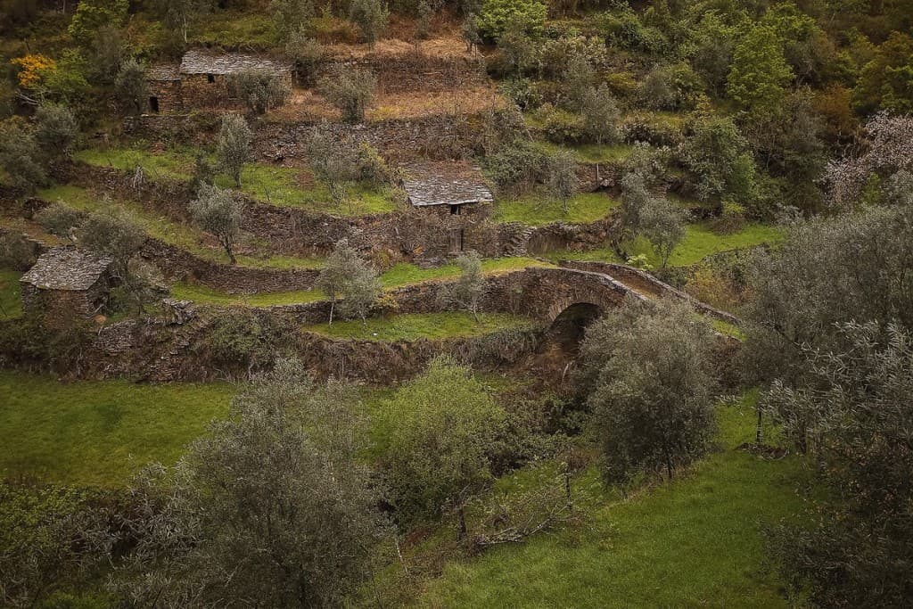
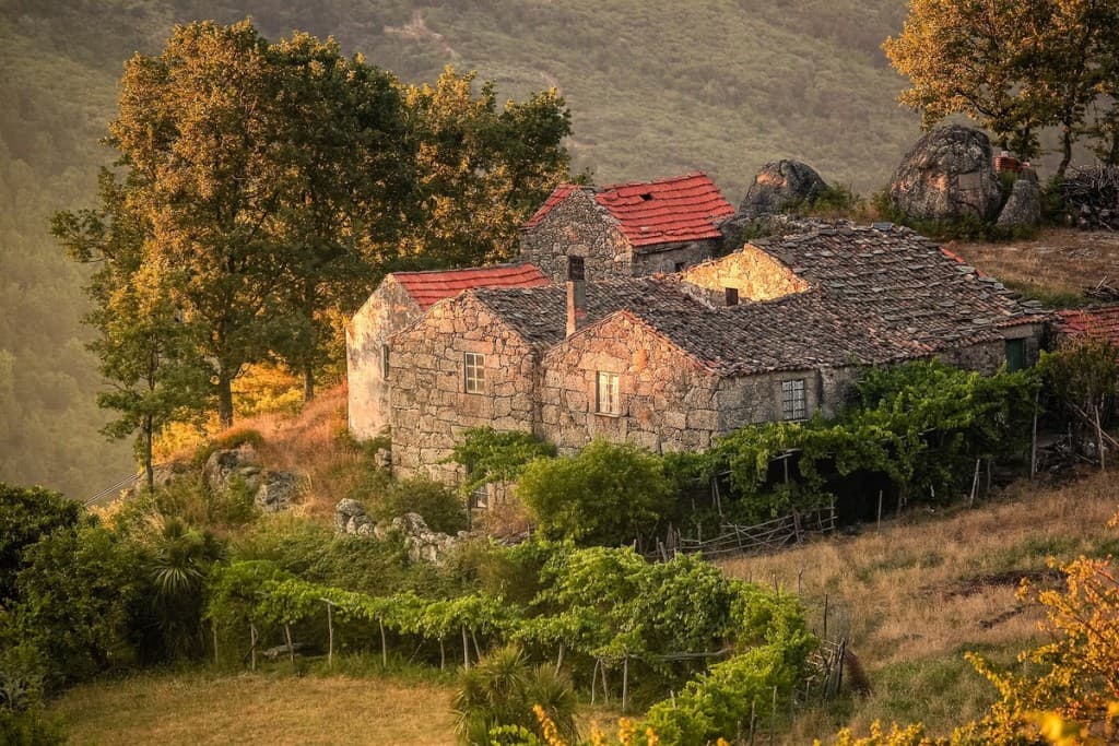
The Great Alva Route, a 77-kilometer-long linear trail, promoted by CIM-RC, passes through the municipalities of Penacova, Vila Nova de Poiares, Arganil, Tábua, and Oliveira do Hospital. The Alva River is the defining feature of the region traversed by the route, marked by plateaus and striking valleys, where the meandering of the Alva has shaped the landscape and imposed a unique model of settlement and development that awakens a desire for discovery and justifies a careful and enriching visit.
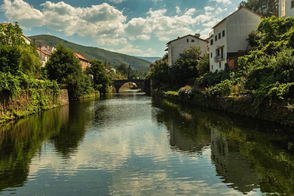
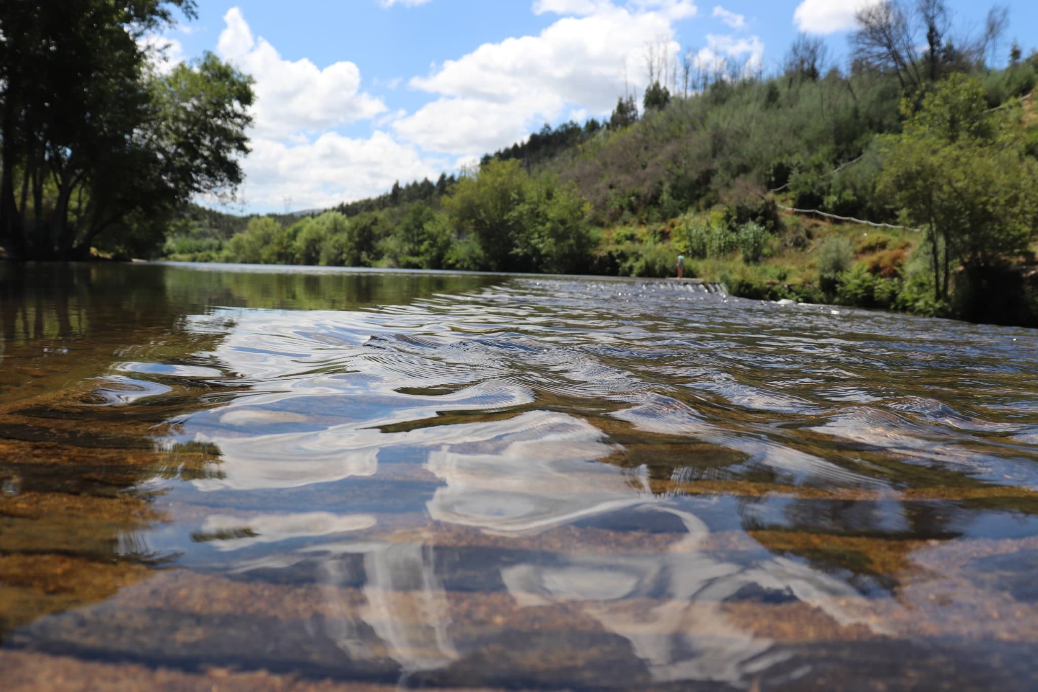
With a length of approximately 106 km, the Alva River originates in the Serra da Estrela and flows into the Mondego River at Porto de Raiva, in the municipality of Penacova. Its winding course, carved into the slopes of the Serra da Estrela and Serra do Açor, allows visitors to discover a range of natural and tourist attractions of great quality and local importance, which justify undertaking this great route. Among these attractions are the villages lining its banks (Côja, Vila Cova do Alva, the “Sintra of the Beiras,” Avô, among others) and a series of magnificent river beaches (such as São Gião, Avô, Caldas de São Paulo, Côja, Vimieiro, Ponte das 3 Entradas, São Sebastião da Feira, Cascalheira-Secarias), most of which have been awarded the Blue Flag, highlighting the quality of the river’s crystal-clear water. Other important attractions include the Fronhas Dam in São Martinho da Cortiça, with its calm waters and recreational area, as well as the megalithic remains from the Chalcolithic period in the village of Secarias, among many others.
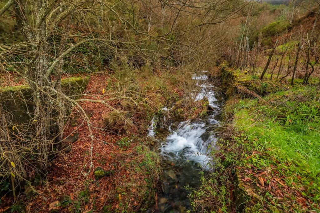
This setting of natural beauty is complemented by a diverse flora typical of waterways, notably featuring willows, alders, ash trees, poplars, water primrose, royal ferns, and broad slopes with arbutus trees. Added to this is a fauna whose development is fostered by the waters of the Alva, consisting of species such as barbel, common dace, European eels, and river lampreys. There are also unique granitic geological formations along the route and various lithological formations, such as schists and grauvaques, boulders, poorly consolidated sandstones, and the alluvial plains of Arganil and Côja. Traces of the centuries-old ore mining on the Alva River are evident in the “conheiras,” extensive piles of boulders resulting from the filtering of aggregates. The dams and the morphology of the Alva River allow for recreational activities in harmony with nature, such as canoeing and some extreme sports.
Route
Nearby trails
Caminho do Xisto de Oliveira do Hospital A Marcha dos Veteranos
Oliveira do Hospital, Coimbra
- Distance
- 14 km
- Duration
- 2 min
- Elevation gain