Rota dos Poios Brancos
Difficulty
Distance
25 km
Duration
4h
Altitude
1440–1680 m
Type
Loop
Description
Machine-translated from Portuguese.
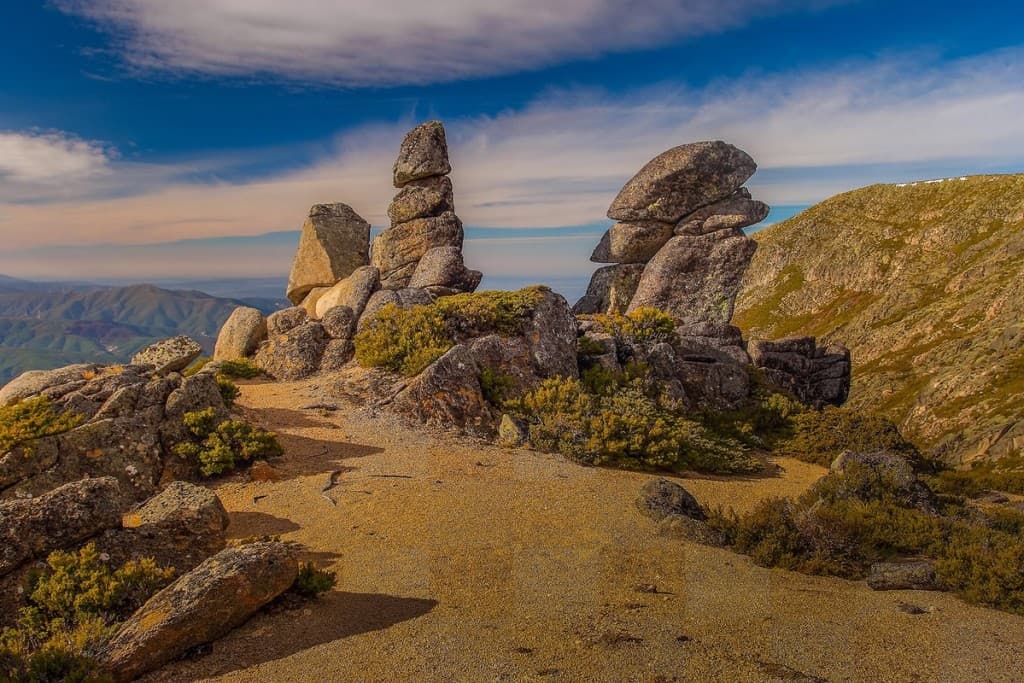
The Poios Brancos Trail owes its name to the fact that, at its highest point, it crosses the granitic outcrop of Poios Brancos, which, when the first snows of the year fall, is blanketed in white, sending a clear signal to the village of Manteigas that winter has arrived.
The Poios Brancos correspond to a Tor—a typical granitic formation in which blocks accumulate in situ, following the system of granite joints. Here stands Viriato’s Chair, like a veritable throne crafted by the hands of nature.
It is the intrinsic characteristics of the granite that give the landscape of Serra da Estrela its unique features, as if a human hand had passed through there to “arrange” the stones that rise proudly toward the sky.
The Nave de Santo António, or Argenteira, fulfills an important ecological function, regulating the absorption and gradual release of water by the cervum—a herbaceous plant that also serves as an important resource for livestock. Here there is a fountain and a structure used by shepherds as a shelter.
“High up in this mountain range, more than twelve thousand sheep have been grazing since spring, when they arrive from the Alentejo—where they spend the winter—until fall, when they return there—without such a large number of animals lacking pasture throughout this time, because the mountain range is populated by them in the most abundant numbers, to such an extent that on a single meadow located at the foot the Chapel of Saint Anthony of Argenteira, mentioned above—called for this reason the “Nave of Saint Anthony”—more than five hundred sheep graze throughout the entire period mentioned without ever experiencing the slightest shortage of pasture. And it is said that the pastures are so pure that they are not only nourishing for the livestock but also serve as medicine to cure the ailments from which they suffer, which are alleviated through the use of such pastures. There are also wolves, foxes, rabbits, partridges, and golden eagles in these mountains, which live on their cliffs.” Father Manuel Cabral de Pina (18th century).
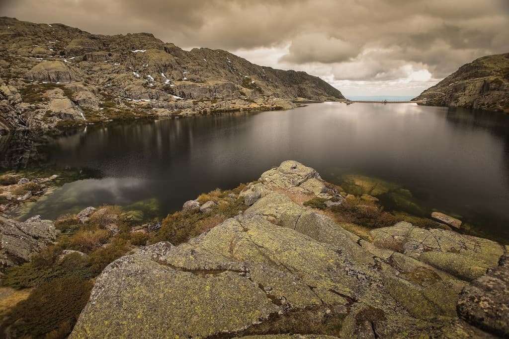
Also part of the natural landscape is Covão d’Ametade, a depression of glacial origin, located downstream from Covão Cimeiro, which was once a deer pasture, which was afforested with birch trees along the banks of the Zêzere River.
At the fork leading to Poço do Inferno, the magnificent landscape of Covão da Abelha comes into view, where, at the bottom of the gorge, at the confluence of two streams that form the Ribeira de Beijames, one can see the Aguilhão —a substantial rock massif topped by large stones that overlap one another. The water flows calmly, pure and crystal-clear, among the overhanging slopes covered with gravel beds.
Next to the trail stands one of the many religious monuments in the municipality of Manteigas and an important example of Portuguese folk art—Almas. It is common to find lit candles and oil lamps left by people passing through the area, or even offerings of flowers.
The yew, creeping juniper, birch, wild apple,
hawthorn, cranberry, and water parsnip are some examples of species
found along the route.
Bonelli’s eagle, the rock thrush, and the peregrine falcon are the birds
facing a very high risk of extinction. The water shrew, the
mountain gecko, and the horned viper are also present.