Trilho do Glaciar e do Alto Vez
Difficulty
Distance
12 km
Duration
5h
Elevation gain
658 m
Altitude
1100–517 m
Type
Loop
Description
Machine-translated from Portuguese.
The Glacier and Alto Vez Trail is a hiking trail classified as a Short Route (PR), with markings and signage that comply with international guidelines.
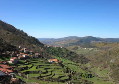
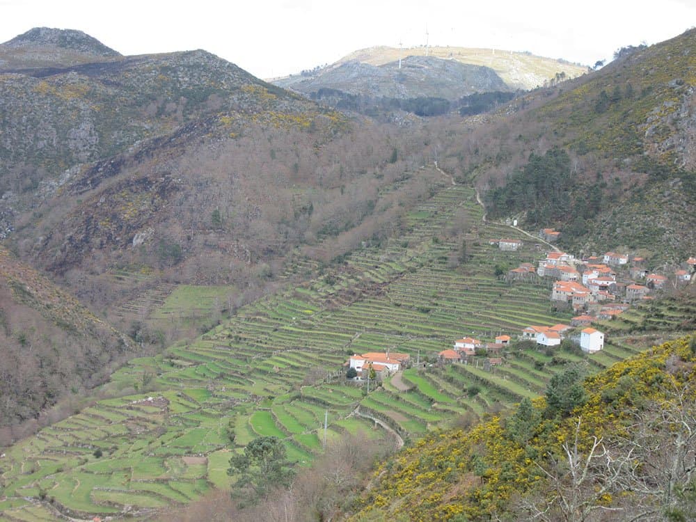
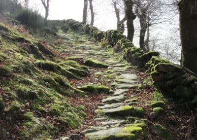
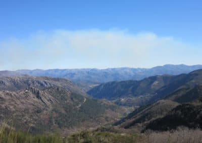
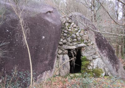
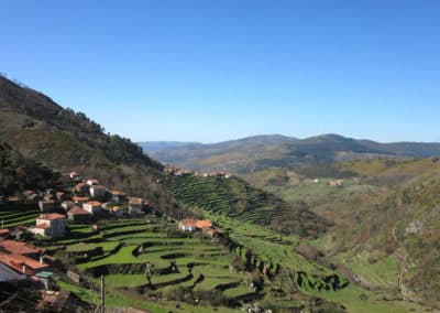
This trail is located on the northern slope of the Serra da Peneda, in the northwesternmost part of the mountainous municipality of Arcos de Valdevez, and covers the territory of the parish of Sistelo, passing through part of the village of Porta Cova. Starting from the parking lot next to the picturesque village, we follow the road to the river of the same name. As we walk, we observe various landscape features of unique beauty that contribute to the cultural richness of this mountainous region. Of particular note is the monumental agricultural, forestry, and pastoral complex consisting of settlements, terraced fields, irrigation systems, granaries, threshing floors, and stone-paved paths—one of the most important in all of Europe. Walking along the “carreteiro”—so named because ox-drawn carts used to pass through here—we can observe the strange geological shapes of the granite boulders that surround the landscape; the trail and its entire surroundings are composed of two types of granite: Serra Amarela Granite and Extremo Granite. Little by little, we enter the Serra da Peneda Glacial Valley. An ancient glacier, extinct for thousands of years, once flowed through this valley; it was formed by enormous masses of ice, which moved slowly under the force of gravity, shaping the surface of the mountain and forming the characteristic U-shaped valleys. The materials carried by the glacier accumulated in aligned deposits known as moraines. Mainly on the right bank of the Vez River, with a faceted and polished appearance, the erratic boulders stand out in the landscape— large granite boulders dragged and deposited by the glacier along its path. The rich and diverse array of geomorphological traces from the Glacial Period found here has contributed to the formation of a unique landscape of unparalleled beauty. After passing Branda do Furado, where one can observe schists and metasedimentary rocks, we continue climbing along the paved path to reach Chã, where we can take in a vast view of the Upper Minho landscape. After a while, we reach a complex of farming brandas — Branda Outeiro Gordo, Branda Costa do Salgueiro, and Branda da Lapinheira — consisting of small clusters of scattered buildings and small fields, before heading toward Branda de Crastibô, also used for farming. This branda, now practically abandoned, is situated in a place of unique beauty, surrounded by mountain pastures, and provides excellent shelter for people and animals. Leaving the branda behind, we continue our journey along a path bordered by patches of pedunculate oak (Quercus robur). Finally, we return to Porta Cova, precisely the spot where this trail through the Glacier and the Alto Vez began.
Nearby trails