Trilho Santo António de Vale de Poldros
Difficulty
Distance
11 km
Duration
3h45
Altitude
703–1108 m
Type
Loop
Description
Machine-translated from Portuguese.
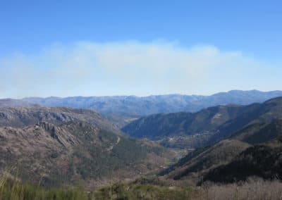
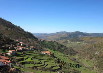
This is an ecological and scenic trail, set
against a backdrop of valleys and mountains, with a distance of approximately 10.5
km and an average duration of 3 hours and 45 minutes. It is considered moderately difficult,
with elevations ranging from a minimum of 703 m to a maximum of 1,108 m.
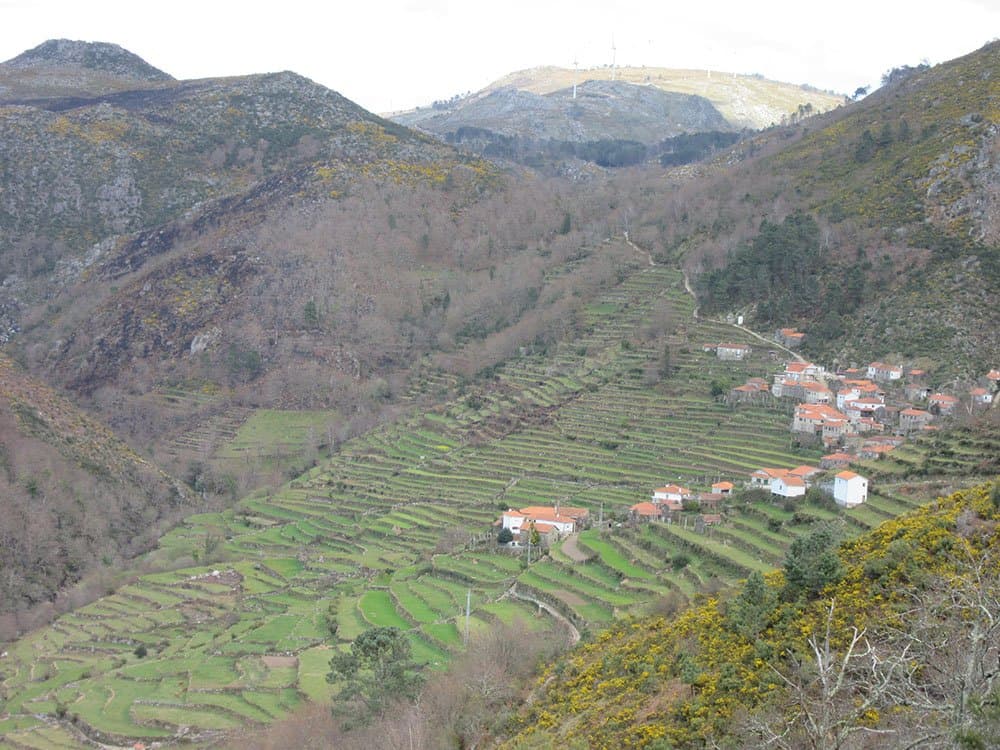
The
Santo António de Vale de Poldros plateau is an area covered with
gorse, broom, heather, and gorse-oak scrub, interspersed with hayfields (lameiros)
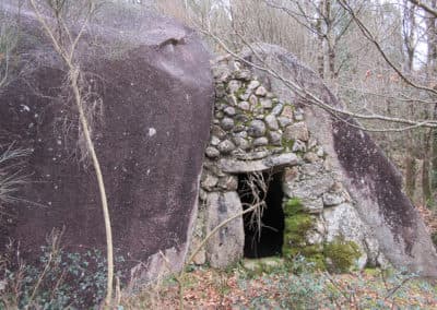
and “cardenhas” (traditional dwellings of the brandas), once a genuine
mountain village, full of life, bustle, festivities, and, above all, work
with daily life centered mainly on the summer months (May through September). This is the
main characteristic of the “brandas.”
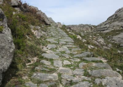
These paths were
also traveled by charcoal burners who, in the past, made their way to the
mountains, since only there could they find the heather that produced
top-quality charcoal.
The herds of female donkeys that live there,
roaming freely, give the region its name: VAL-DE-POLDROS. Even today, the
young of female donkeys are called “poldros” or “poldras” and not
“potros.” Another point of great interest are the “quarteis,” places
where pilgrims seeking shelter gather on St. Anthony’s Day to have their
livestock blessed.
Route
We don't have the track for this trail yet.
Reviews
No reviews yet. Be the first!
Nearby trails
Trilho do Glaciar e do Alto Vez
Arcos de Valdevez, Viana do Castelo
- Distance
- 12 km
- Duration
- 5h
- Elevation gain
- 658 m