TND PR6HikingOfficially certified trail
Rota dos Moinhos
Tondela, Viseu
Difficulty
Easy
Distance
5.2 km
Duration
2h
Altitude
760 m
Type
Loop
Description
Machine-translated from Portuguese.
Leaving the A25 or coming from Tondela via the EN 627, you’ll intersect with the EN 228 and find the turnoff to Caparrosa and Souto Bom.
The Souto Bom Village Welcome Center is the starting point of the hike.
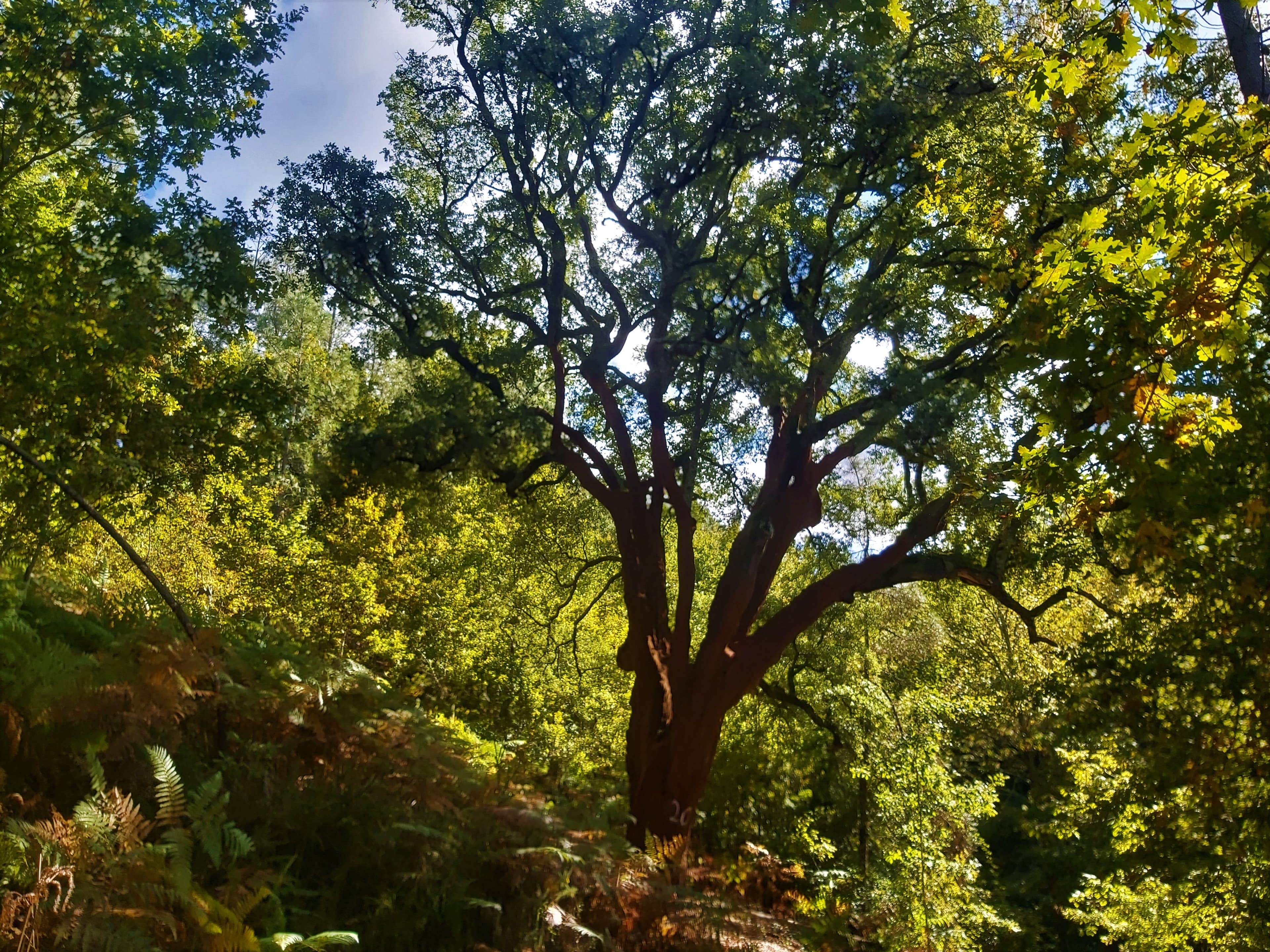
Walk the first few meters along the main road until you reach the entrance to the trail, which is clearly marked. Here, you’ll venture into patches of oak groves, a reminder of what the forest in this area must have been like before human intervention.
The first farm fields appear, bordered by stone walls, where lizards that were basking in the sun’s warmth dart away. Here and there, you can spot a few blackbirds, flycatchers, or even booted eagles. Once again, you enter forest trails among oak and chestnut trees, whose presence is impossible to ignore. Was their presence once so prominent that it gave the place its name, Souto Bom?
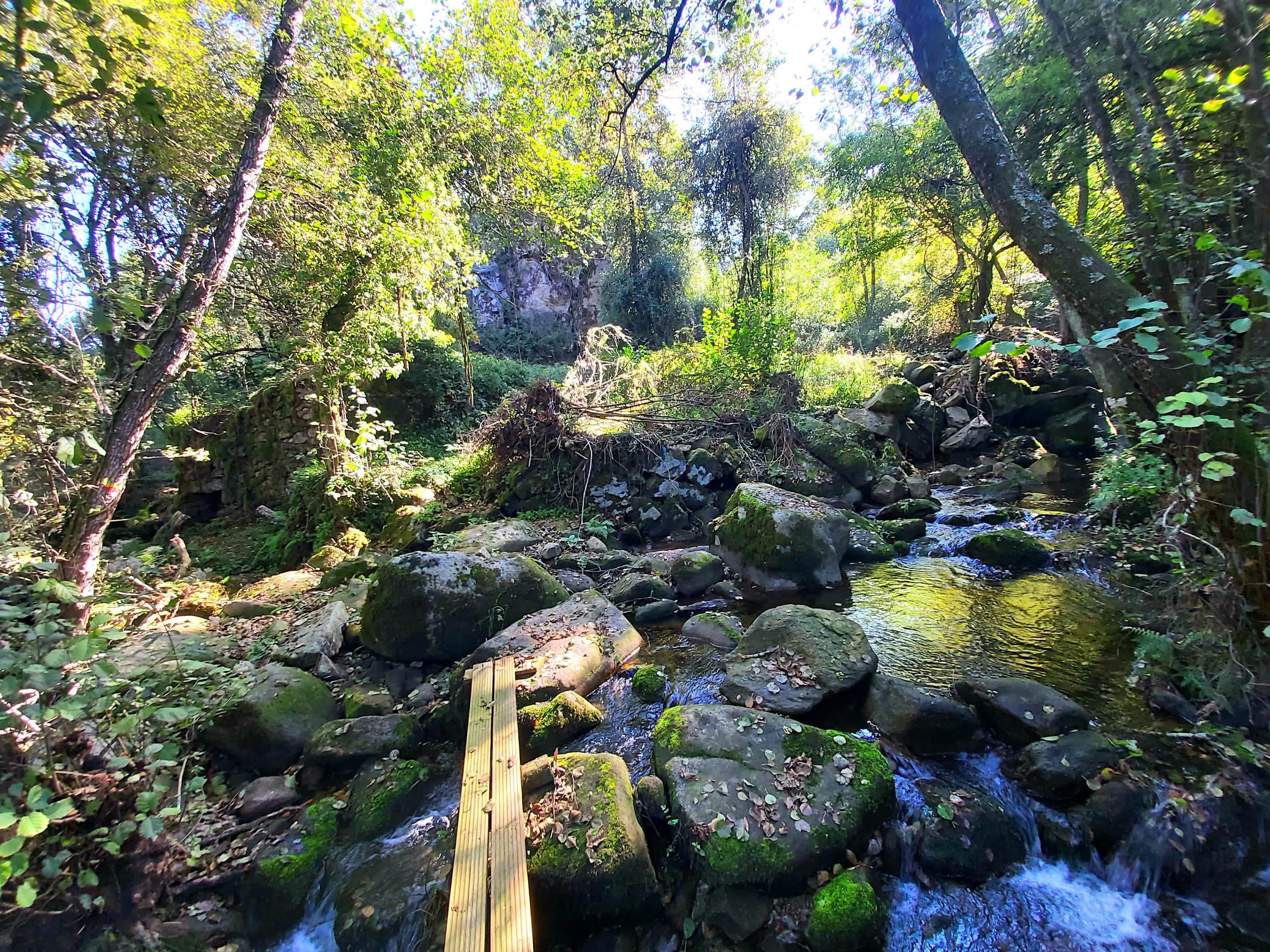
There are many springs, water sources, dams, and streams around here. The trail continues across a small footbridge over the Ribeira da Fraga, surrounded by lush vegetation, whose shade fosters an abundance of ferns and mosses characteristic of more humid areas.
On the upcoming climb, the cobblestone path bears the marks of the repeated passage of work animals—indispensable for cultivating the farmlands that have been created by making use of small terraced plots that wind their way up and mask the slope, offering a glimpse of the harshness of the manual, largely unmechanized labor that is still practiced today.
We come upon an “Alminha” and there we take the Calçada da Teixugueira, heading toward the granite house visible further up, framed by granaries and a vast threshing floor, where, no doubt, much grain was once dried. The landscape captures our attention, and in season, our gaze turns to the cornfields that cover almost all the small terraced plots.
From here, you can also see the original village center of Souto Bom: a cluster of traditional granite houses, which you’ll soon be able to admire up close, and where the village chapel is a must-see. Following the Caminho do Tapado, you’ll soon reach the square.
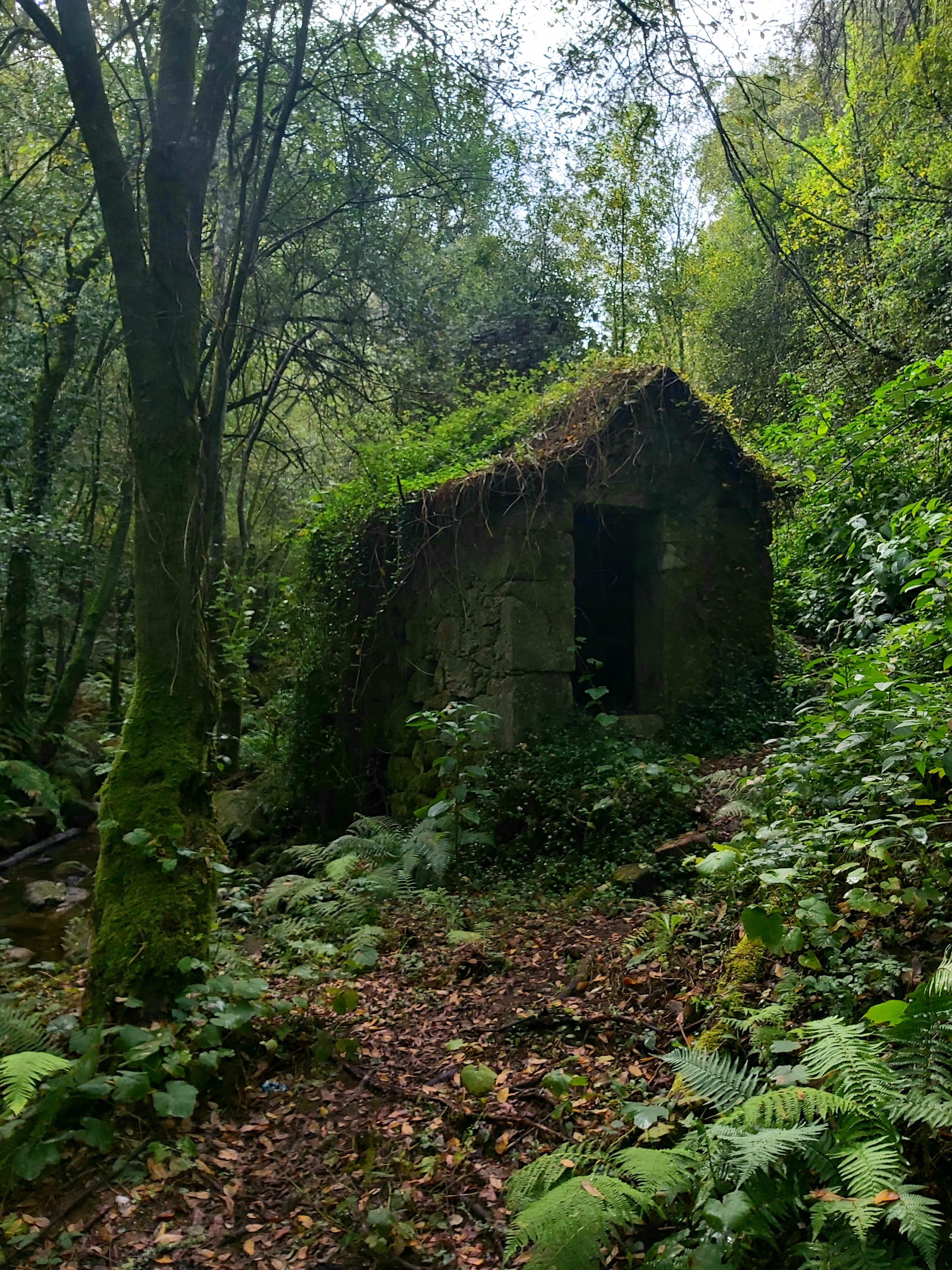
Turning onto the Calçada do Vale do Moinho, you’ll come upon the first cluster of seven mills along the Ribeira da Pena. The route follows the path connecting them, inviting a thoughtful visit to this restored heritage site—a tribute to the environment and nature. Passing by the sundial, you’ll marvel at the ingenious and efficient way our ancestors measured time.
After walking a few meters along the road, we return to the rural setting on the way to the village of Eiras, framed by farmland along the banks of the Ribeira.
Once again on forest paths, along rustic granite cobblestone paths—often worn smooth by foot traffic—and through serene surroundings, the route nears its end. You can already begin to recognize the initial trail.
Simply follow it in the opposite direction until you reach the finish point.
The Souto Bom Village Welcome Center is the starting point of the hike.
Walk the first few meters along the main road until you reach the entrance to the trail, which is clearly marked. Here, you’ll venture into patches of oak groves, a reminder of what the forest in this area must have been like before human intervention.
The first farm fields appear, bordered by stone walls, where lizards that were basking in the sun’s warmth dart away. Here and there, you can spot a few blackbirds, flycatchers, or even booted eagles. Once again, you enter forest trails among oak and chestnut trees, whose presence is impossible to ignore. Was their presence once so prominent that it gave the place its name, Souto Bom?
There are many springs, water sources, dams, and streams around here. The trail continues across a small footbridge over the Ribeira da Fraga, surrounded by lush vegetation, whose shade fosters an abundance of ferns and mosses characteristic of more humid areas.
On the upcoming climb, the cobblestone path bears the marks of the repeated passage of work animals—indispensable for cultivating the farmlands that have been created by making use of small terraced plots that wind their way up and mask the slope, offering a glimpse of the harshness of the manual, largely unmechanized labor that is still practiced today.
We come upon an “Alminha” and there we take the Calçada da Teixugueira, heading toward the granite house visible further up, framed by granaries and a vast threshing floor, where, no doubt, much grain was once dried. The landscape captures our attention, and in season, our gaze turns to the cornfields that cover almost all the small terraced plots.
From here, you can also see the original village center of Souto Bom: a cluster of traditional granite houses, which you’ll soon be able to admire up close, and where the village chapel is a must-see. Following the Caminho do Tapado, you’ll soon reach the square.
Turning onto the Calçada do Vale do Moinho, you’ll come upon the first cluster of seven mills along the Ribeira da Pena. The route follows the path connecting them, inviting a thoughtful visit to this restored heritage site—a tribute to the environment and nature. Passing by the sundial, you’ll marvel at the ingenious and efficient way our ancestors measured time.
After walking a few meters along the road, we return to the rural setting on the way to the village of Eiras, framed by farmland along the banks of the Ribeira.
Once again on forest paths, along rustic granite cobblestone paths—often worn smooth by foot traffic—and through serene surroundings, the route nears its end. You can already begin to recognize the initial trail.
Simply follow it in the opposite direction until you reach the finish point.
Nearby trails
CNF PR1