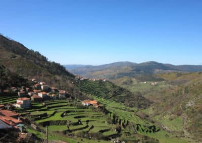
Trilho Celta
Difficulty
Distance
8 km
Duration
3h30
Type
Loop
Description
Machine-translated from Portuguese.
The “Celtic Trail” is a route classified as a Short Route (PR),
and is the 11th officially approved and registered route in the Northern Region (11N). This
route runs along the foothills of the Serra da Gávea and passes through only two
settlements: the town of Cerveira and the village of Lovelhe. Starting from the
Vila Nova de Cerveira Tourist Office, we take the street that leads us to the
historic center of this old fishing town. After visiting the
countless monuments and strolling through some of its typical streets,
we walk along the outer wall of the medieval fortress, where
Cerveira Castle now stands. A few meters further on,
we come out by the Minho River to walk to the Fort of
Lovelhe. After visiting the 17th-century fort and the ruins of an
ancient “Roman villa”—perhaps the ancient Lobélli that gave its name to the
Cerveira parish of Lovelhe—we cross the bridge over the N13 highway and
continue along the road that leads us into the heart of that
parish. Following the cobblestone path for a while, we come upon
a spring, where we can cool off and enjoy its
waters, which the locals believe have medicinal properties. From there,
at the foot of the hill, we take the dirt path that will gradually
lead us to the summit. To reach it, we can follow the old, still
-used stone irrigation channel or continue along the dirt road to the chapel of
Nossa Senhora da Encarnação. From here, we can enjoy a breathtaking
panoramic view and visit the summit just a few meters away—Alto do Crasto
which, at an altitude of 315 meters, bears the symbol of Cerveira, the
deer. To reach it, simply follow a trail on a short
ascent through the rocks. There is also an area here
equipped for sport climbing.
As another option,
we can visit the rock engravings; simply step outside the grounds of the
chapel. Once you’ve visited the site, follow the stone channel leading from the
fountain to descend through acacia trees along an old path called
“as Escadinhas,” which will take you to Atalaia. From here, we continue
down through a dense forest of eucalyptus and pine trees that
gradually gives way to acacias, until we emerge at Outeiro da
Forca. From there, we quickly descend through the old medieval village of Cortes
to return to the starting point of the route.
Reviews
No reviews yet. Be the first!
Nearby trails
Percurso da Agua
Ponte de Lima, Viana do Castelo
- Distance
- 13 km
- Duration
- 6h
- Elevation gain
- 41 m