VNC PR2HikingOfficially certified trail
Trilho do Alto da Pena
Vila Nova de Cerveira, Viana do Castelo
Difficulty
Easy
Distance
9.5 km
Duration
4h
Type
Loop
Description
Machine-translated from Portuguese.
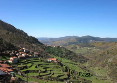
The Alto da Pena Trail is a route classified as a Short Route (PR), and runs through the parishes of Loivo, Reboreda, Vila Nova de Cerveira, and Sopo. The meeting point is at the parking lot of the Convent of S. Paio. This trail winds through mountainous terrain, with the the goal of reaching the Alto da Pena Geodetic Marker, which is the highest point in the municipality of Vila Nova de Cerveira. From here, you can enjoy a view of the Minho River and the valley.
Important: The route is not marked on the ground; guides are required.
Points of interest
- S. Paio Convent
- Alto da Pena triangulation point.
Reviews
No reviews yet. Be the first!
Nearby trails

PTL PR5
Percurso da Agua
Ponte de Lima, Viana do Castelo
- Distance
- 13 km
- Duration
- 6h
- Elevation gain
- 41 m
ModerateLoop