Rota das Cruzes
Difficulty
Distance
8 km
Duration
4h
Altitude
820 m
Type
Loop
Description
Machine-translated from Portuguese.
To reach the starting point of this route, Jerónimo Lacerda Park, visitors arriving in Tondela should take the EN 230,
drive through a series of sharp curves, gaining elevation as you
head toward Caramulo, reaching 800 m upon arriving in the town, and there,
in front of the tourist office, get ready to begin the hike.
The route begins
with a paved path that crosses part of the park and leads
to the first forest trails, heading toward Guardão, the town
that gives the parish its name. There, if you take a short detour, you can
visit the Mother Church and the Chapel of St. Sebastian, which houses
a valuable 16th-century polychrome stone sculpture of the patron saint
. Next, continue along the Roman Road
—which is part of one of the seven main routes that led out of Viseu and
provided access to the coast—and the Caminho dos Cruzeiros, until you reach the
main road leading to Janardo. In this village, which once
held the honor of being the seat of the old municipality of Guardão—where the
buildings that once housed all municipal functions still stand—
the Town Hall and the Courthouse stand out—both buildings made of
carved stone, now privately owned, and built in 1735.
It’s
time to set off along the farm roads, and a few meters ahead
the first signs of one of the area’s most important religious celebrations
begin to appear—The Festival of the Crosses. The
pillars bearing the names of the parishes involved in the celebration
appear one after another along the path in the order of their arrival on the 5th
Thursday of Ascension each year, until we reach the Chapel of St. Bartholomew.
Nearby
nearby stands the wayside cross, at a magnificent vantage point
over the Besteiros Valley, symbolizing the divine protection said to have been
granted to the people of Guardão. It is next to this wayside cross that, on the day of the
Feast of the Crosses, the faithful, forming a procession with the crosses, offer
their prayers. There is also a hillfort at this site, where
gold coins and pottery shards were found, left behind by
ancient civilizations that settled here.
To continue the route, follow the path alongside the granite pillars.
Further on,
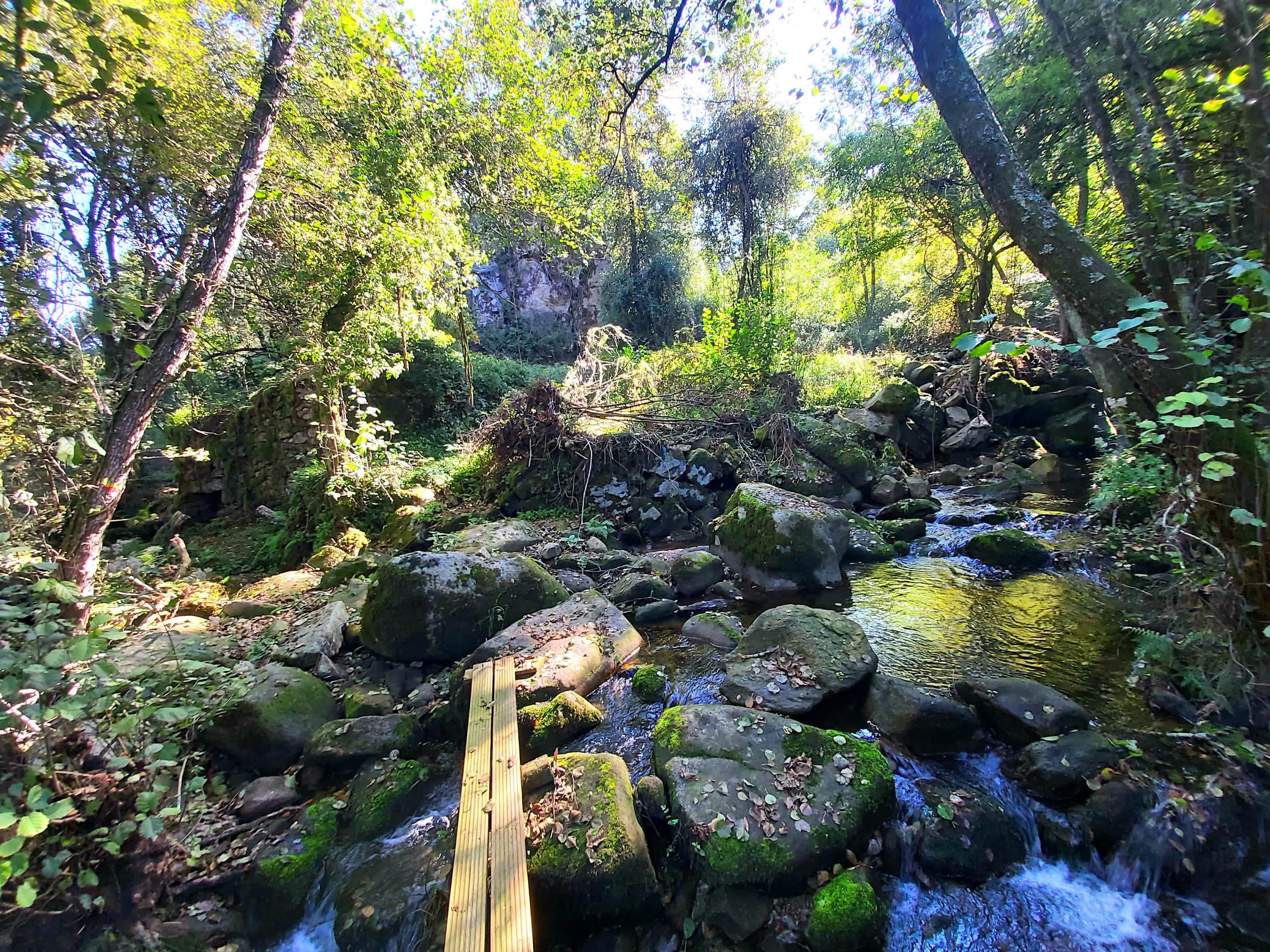
you will cross the Ribeira do Xudruro over a bridge of
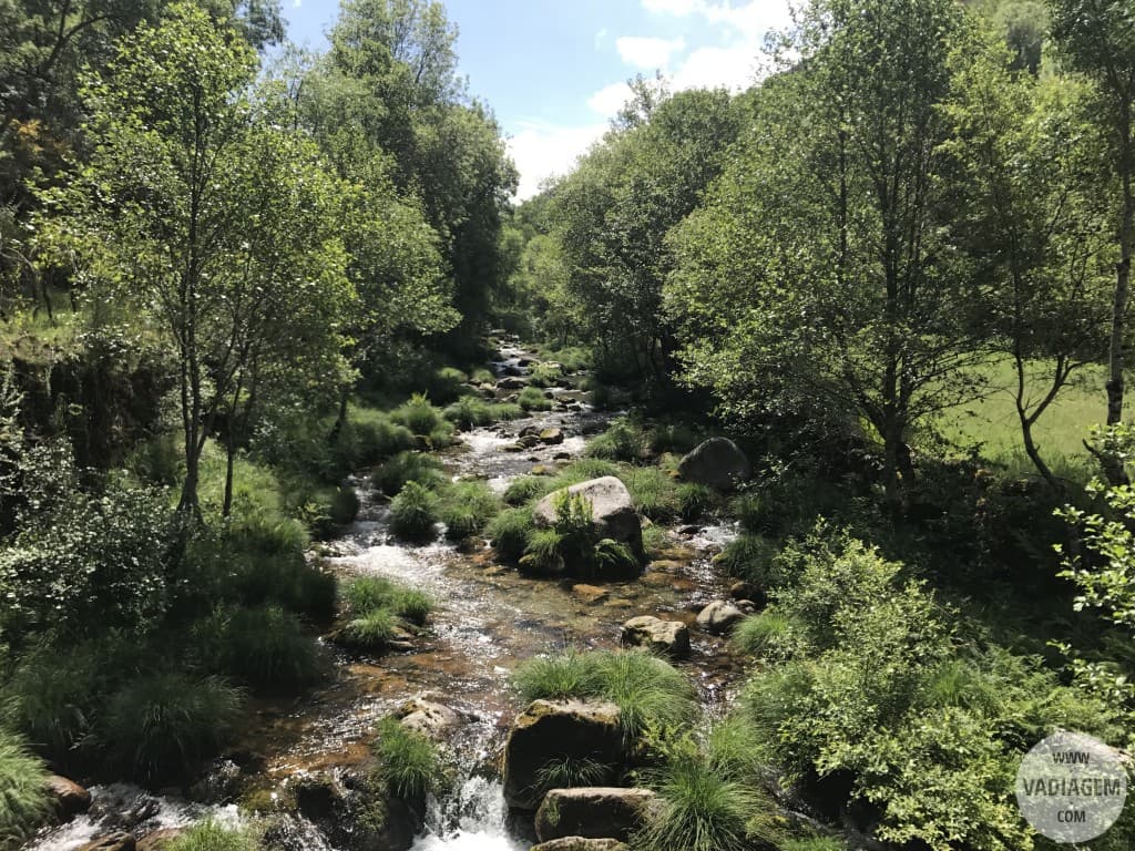
Romanesque origin and climb the hillside, always surrounded by incredible
natural beauty, until you reach the Chapel of Santa Luzia in Carvalhinho, where
there is a rest area offering a view that takes in the entire valley. At Largo
do Lameirão, you’ll leave the village behind and return to the mountain trails
heading toward Cadraço.
As you continue along the route, you’ll encounter
a succession of landscapes, from pastures where cattle graze freely
in plots bounded by granite walls patiently
built in times gone by, right next to large expanses of
low-lying vegetation typical of high altitudes, to a considerable expanse of
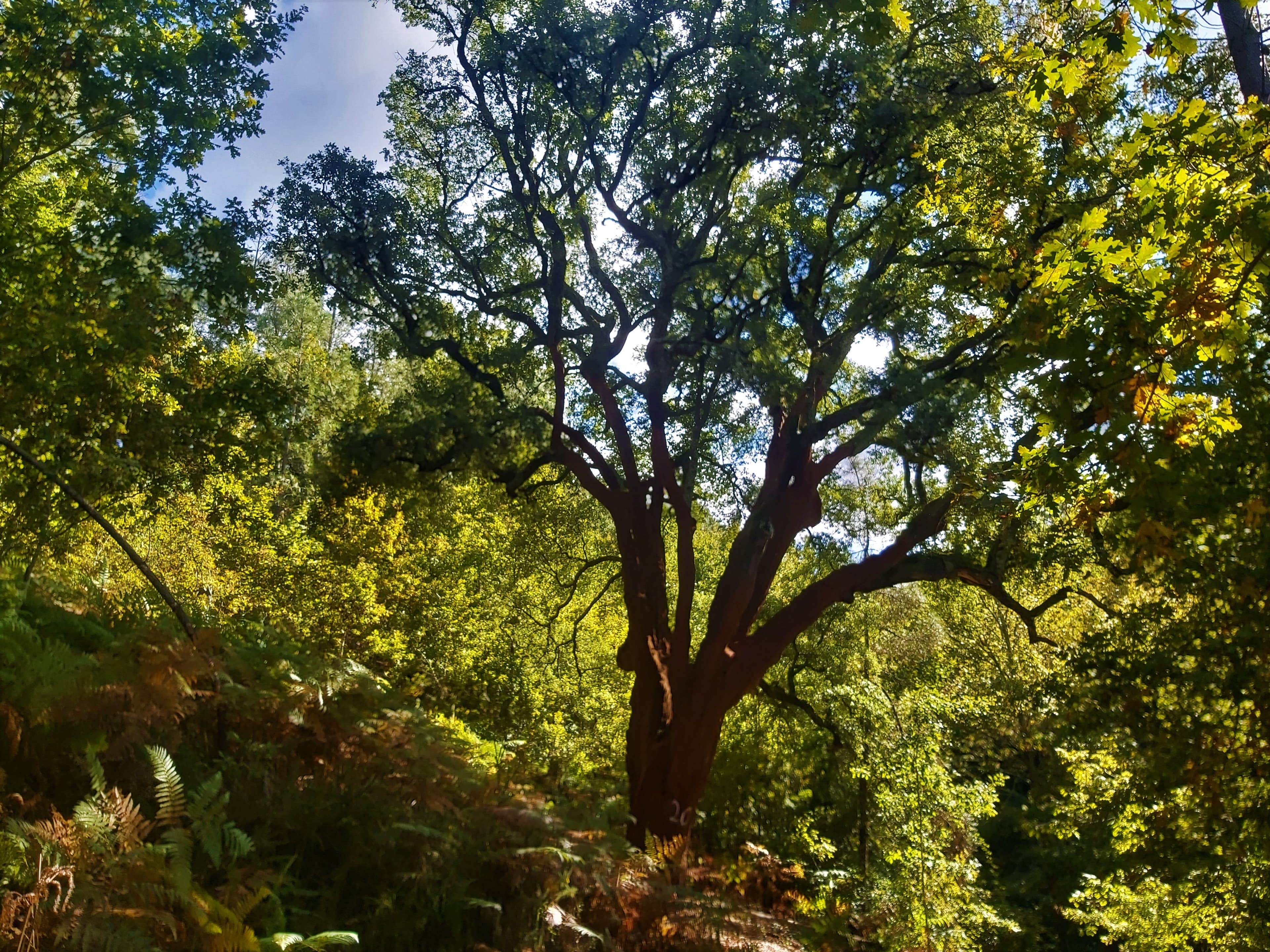
oak forest featuring black oak and Alvarinho oak,
after which you’ll come across agricultural areas as you approach
Ceidão.
Still following forest trails, the route passes through Pinhal Novo and
returns to the town of Caramulo. This town is situated on the eastern slope of the
mountain range and is still associated today, through the imposing buildings of the
former sanatoriums, with what became, starting in 1920, the largest
sanatorium resort in the country, which at one point accommodated
2,500 patients.
We are now in front of the Caramulo Museum
, and the end of this hike is approaching as we cross Jerónimo
Lacerda Park, where you can observe a great wealth and diversity
of plant life, bearing in mind that it once served as a barrier against the spread of disease to
neighboring populations by those with lung problems who came
in search of the favorable climate, tranquility, and fresh air.
Nearby trails