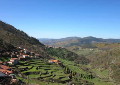
Trilho do Megalitismo de Britelo
Difficulty
Distance
6.8 km
Duration
2h30
Elevation gain
292 m
Type
Loop
Description
Machine-translated from Portuguese.
The route begins in the village of Mosteirô, in the parish of Britelo, and winds through the Serra Amarela, focusing on megaliths and rock art. Take Rua do Portal and, via local roads, leave the village and head toward the local farmlands. Gradually, the cultivated landscape gives way to the forest and the plateaus of the Amarela. Shortly thereafter, you will reach the Coelheira Valley, where you can see a group of megalithic monuments. Cross the valley and follow the cart track to the water line. Cross the water line and climb up to the gate ahead; once past it, you will be at Chã de Cabanos, another megalithic site within the Britelo Necropolis. Among this group of monuments, Lapa da Moura stands out—a dolmen that rises prominently from the landscape, having lost the tumulus that once surrounded and concealed it. It is one of the largest megalithic funerary monuments in the Serra Amarela. Taking the path again, you will soon reach the turnoff leading to the rock carvings at Chã de Cabanos. Here, on this granite outcrop, you will find a cluster of carvings dominated by cup marks and cruciform motifs, revealing a long history of occupation from prehistoric times through to possibly medieval periods. Follow the forest road until you reach a grove, associated with some abandoned terraces and crumbling dry-stone walls, which were once forest nurseries. This is the ideal time for a rest and to take in the surroundings. Notice the grove dominated by Alvarinho oak, chestnut, birch, and maritime pine. Resume the route to Chã da Escusalha. Here you will find a group of dolmens, one of which has been repurposed as a shepherd’s shelter. At the far end of the plain, take a stone-paved path to Ribeira da Abelheira. Continue along the right bank of the stream; following the stone-paved trail, you’ll encounter examples of heritage from the Modern Age: ruins of mills, a silha (a circular stone structure to protect beehives), the first walls and water tanks of the farmlands leading to Lameirada, and later the Mosteirô irrigation pond, already near the end of this route, which will end in the center of the village.
Reviews
No reviews yet. Be the first!
Nearby trails
Percurso da Agua
Ponte de Lima, Viana do Castelo
- Distance
- 13 km
- Duration
- 6h
- Elevation gain
- 41 m