Trilho da Veiga da Mira
Difficulty
Distance
11 km
Duration
4h
Elevation gain
63 m
Type
Loop
Description
Machine-translated from Portuguese.
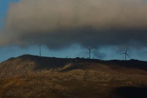
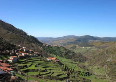
The Veiga da Mira Trail is a short, marked, and signposted walking route, in accordance with national and international guidelines issued by ERA/FERP (European Ramblers Association/Fédération Européenne de la Randonnée Pédestre). This trail, whose primary focus is ecological and environmental, also stands out for its historical and cultural heritage, making it a complete experience for anyone visiting Veiga da Mira. It begins at the Nossa Senhora da Cabeça Recreation Park in Cristelo Covo, Valença. It covers a distance of approximately 11.8 km, passing through the Valença parishes of Cristelo Covo, Arão, and São Pedro da Torre, with an easy level of difficulty. We follow the Minho River Ecopath, enjoying the tranquility of the river and the fantastic landscape, characterized by its riparian vegetation, with alders, ash trees, willows, and poplars that create a scene of natural beauty. We soon enter the river valleys, where we can observe the rich diversity of the local birdlife. A short walk brings us to the Veiga da Mira bridge, built in medieval times, which served as a link on the old path between São Pedro da Torre and Valença—a route that coincides with the current Way of St. James, coming from the coast. We continue along the nature trail, but this time we will follow the banks of the Veiga da Mira stream to its mouth, where it meets the Minho River. We enter the rural village of São Pedro da Torre, where we have the opportunity to see the Independence Cross, the Parish Church, the Holy Spring or Água da Pele, and the Ponte das Ínsuas.We will highlight the famous Fonte Santa or Água da Pele, due to the medicinal importance the local population attributes to these waters, which were used to treat skin diseases, scrofula, and ulcers.This spring of hypothermal waters (18°C year-round), which are hyposaline, sodium chloride, calcium sulfate, magnesium, and siliceous, was characterized in a water analysis conducted in 188. There are currently the ruins of an old spa, which was described at the time (1906) as modest, clean, and well-maintained. In the early 1960s, these spas closed, and little remains today. We leave the rural center behind and venture into the Veiga da Mira area, classified as part of the Natura 2000 Network, within the Special Protection Area (SPA) of the Minho and Coura River Estuaries. Characterized as a wet, flood-prone valley, it is dominated by riparian vegetation such as Louriçal, Palustres, and oak forests, making it a prime habitat for various species of migratory birds and, most notably, the otter.After leaving this area of ecological and environmental interest, we continue along the Minho River eco-trail back to the Srª da Cabeça recreational and river area, with breathtaking landscapes of unique interest.
Nearby trails
Percurso da Agua
Ponte de Lima, Viana do Castelo
- Distance
- 13 km
- Duration
- 6h
- Elevation gain
- 41 m